Kartor, klimat och kulturkrockar – en resa från USA till Uppsala
June 11, 2025
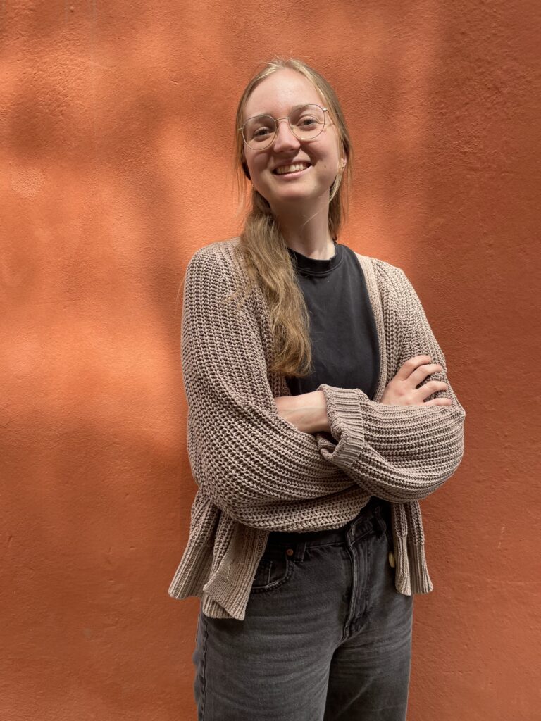
Med en bakgrund inom geografi och GIS, och en stark drivkraft att arbeta med hållbarhet, tog Madison steget från USA till Sverige. Nu kombinerar hon akademisk kunskap med klimatarbete i sin praktik – och lär sig samtidigt både svenska och hur man bäst navigerar i det svenska arbetslivet.
Hello Madison!
How does it feel to be part of the team?
Great! I’ve felt really welcomed on the team, and it’s been insightful to see a practical side of sustainability work, which complements my education quite well. I also appreciate being at a smaller company, where it’s easier to get to know everyone and see the full scope of the work being done here.
Hey, why are we speaking in English?
Haha, well, because I’m from the US. I moved here a couple of years ago to study sustainable development at Uppsala University and am still learning the language. I really appreciate the mix of English and Swedish in the office – it helps me feel at home and I’ve picked up a lot that they don’t teach you in svenska som andraspråk!
What do you like about living in Sweden?
I feel really at home in Sweden. There’s a strong focus on making everyday life more sustainable, both in policy and practice. I also see a lot of work around developing nature-based solutions, and there are many opportunities here for people interested in environmental work.
Tell me a little bit of your background
I studied geography and geographic information science (GIS) before moving to Sweden. I also spent several years working in academic research and on public infrastructure projects for my home municipality. Eventually, I wanted to pivot and apply those skills to the sustainability field, which led me to the master’s program at Uppsala University.
In what ways do you feel like you can use your background in GIS and geography here?
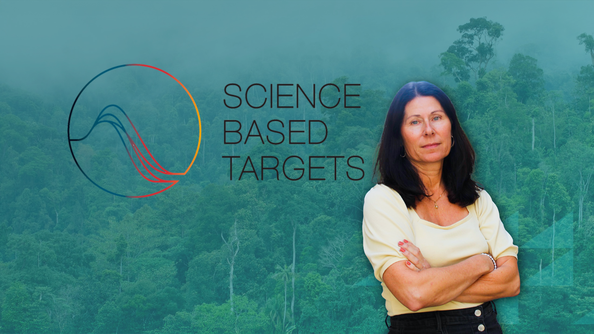
GIS is a powerful tool for assessing climate risk factors, which is an important part of CSRD. I’m hopeful we can integrate that into our reporting. Remote sensing is another tool we can leverage to monitor the success of climate projects over time, which helps us communicate their impact. One fun task that I’ve already worked on was creating an interactive web map highlighting the projects we’re working with.
Where do you see yourself in five years?
Hopefully I’ll still be in Sweden! But professionally, I want to keep developing and applying my GIS and spatial data skills in practical ways to support sustainability work.
En del i Madisons arbete har varit att implementera en interaktiv karta som markerar våra klimatprojekt. Testa kartan under tjänster och klimatprojekten.